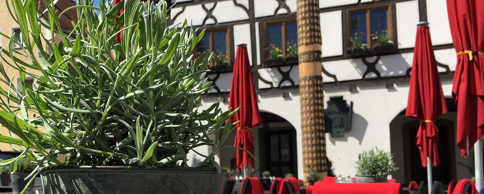
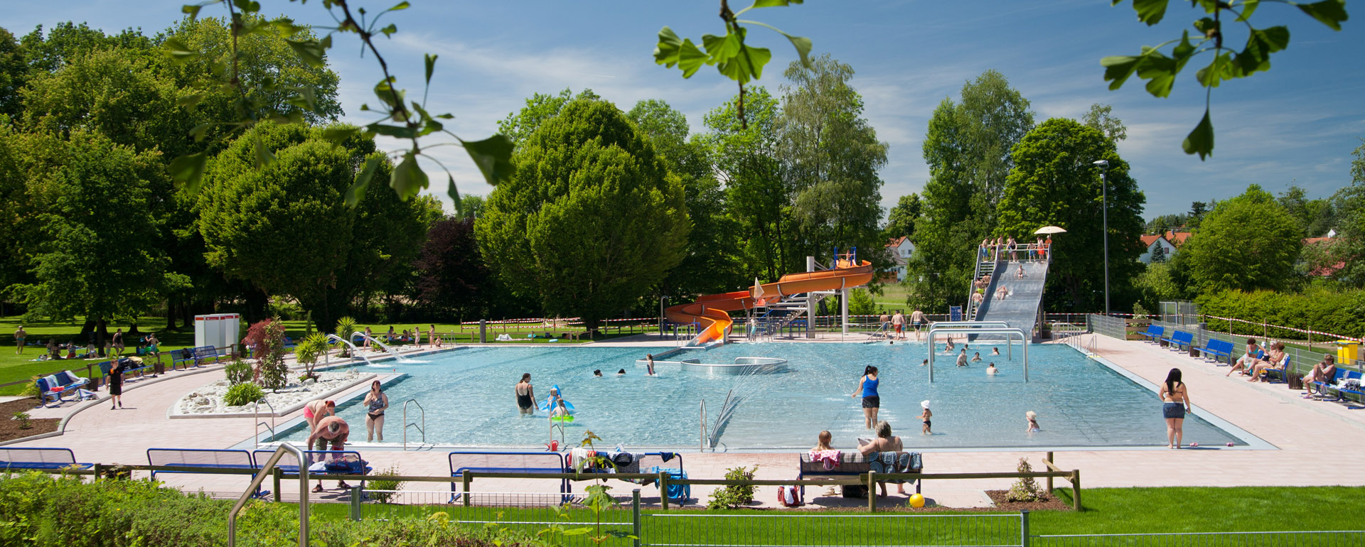
City, infrastructure, leisure: with 13,000 inhabitants (including incorporations) is Krumbach ... call it manageable. Nevertheless, nothing is missing, the infrastructure is excellent. There are many shopping possibilities, an outdoor pool, an indoor swimming pool, viewpoints, a cinema, museums, a city park, playgrounds, miniature golf, churches, castles, culture and more. Particularly noteworthy is the high density of gastronomy. Cafes, restaurants and beer gardens can be found in public squares and throughout the city. If you like to go for a walk, You can reach almost everything in about 15 minutes from the center.
By car: the inhabitants of Krumbach often say with a smile on their face: "Our city is centrally decentralized." The federal roads B16 and B300 connect Krumbach with the outside world in north-south and east-west directions. The A8 in Günzburg, the A7 in Illertissen and the A96 in Mindelheim can be reached in 25-30 minutes. For this reason, Krumbach is a very popular city for living.
By train and bus: in Krumbach there is also a train station and numerous bus connections.
By plane: Memmingen Allgäu Airport is just 30 minutes, Stuttgart Airport and Munich Airport about 1 hour 15 minutes.
Some distances:
Ulm and Augsburg in about 40-50 minutes, Günzburg, Mindelheim, Memmingen and the Allgäu in about 30 minutes, Munich, Stuttgart or the Alps in an hour.
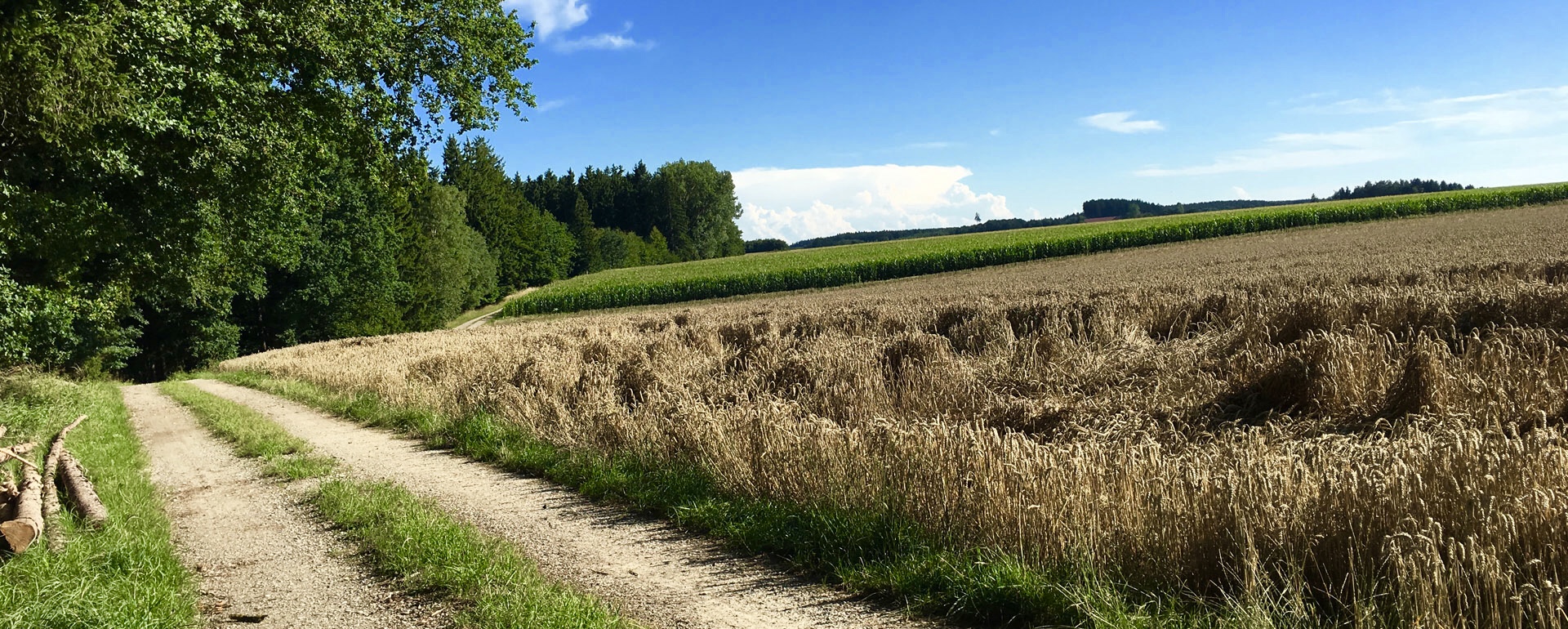
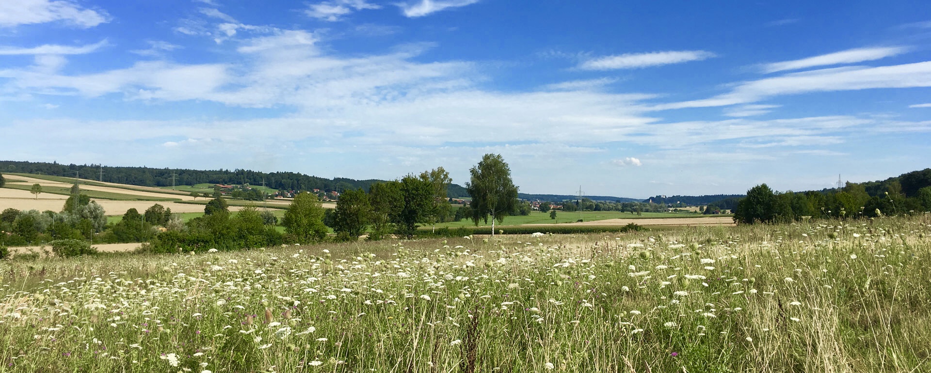
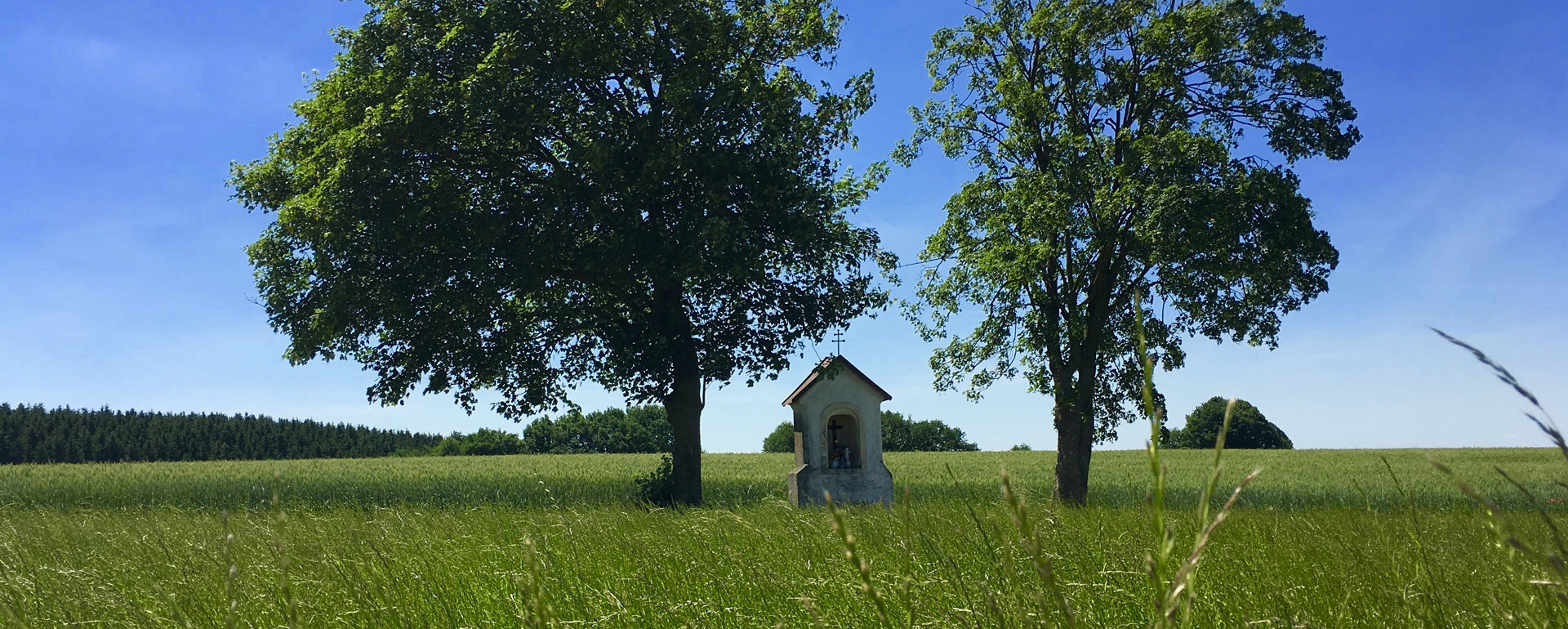
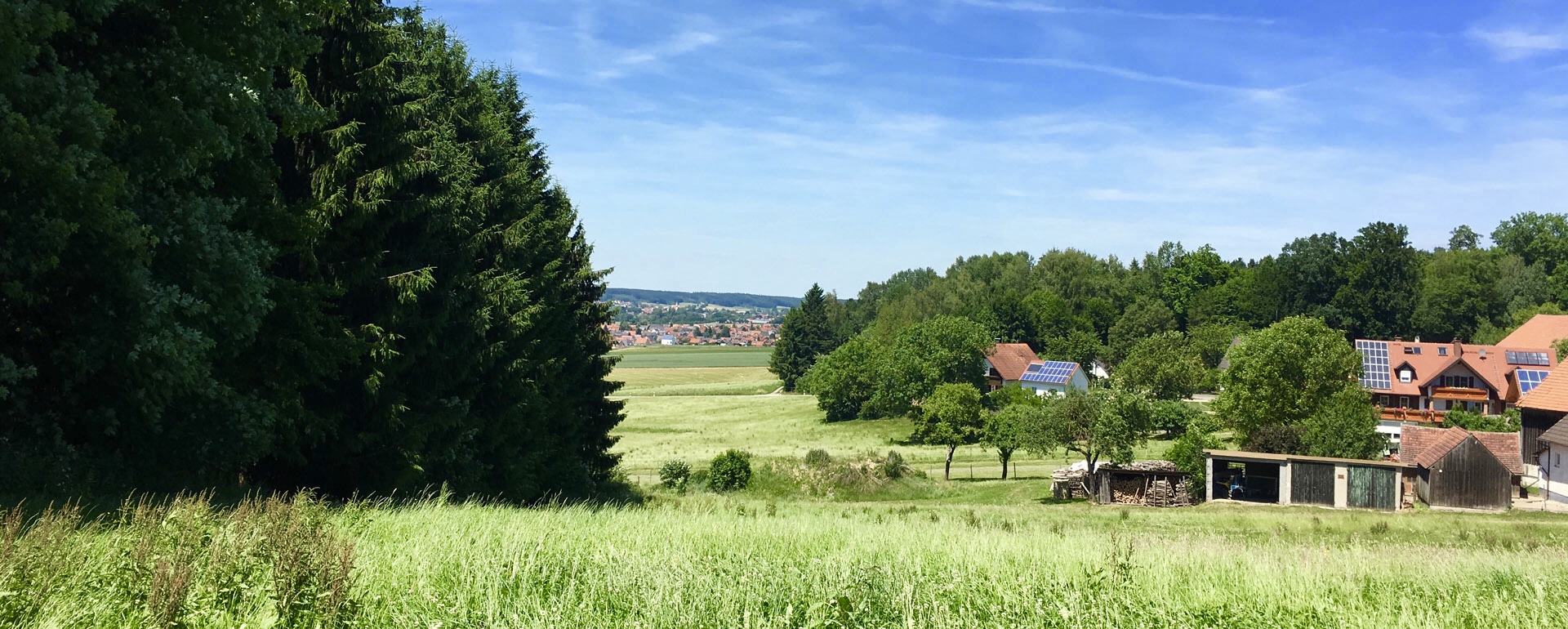
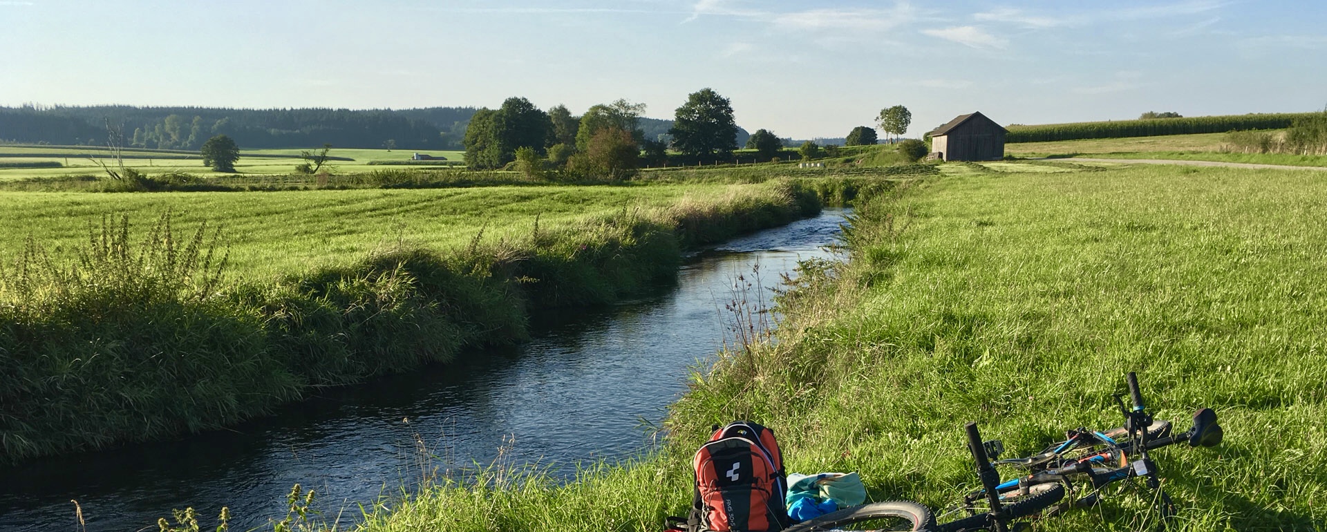
Krumbach is framed by forests and meadows in the idyllic, sun-drenched valley of the river Kammel in the heart of central Swabia. The town has not lost its small town character because of the special geographical conditions.
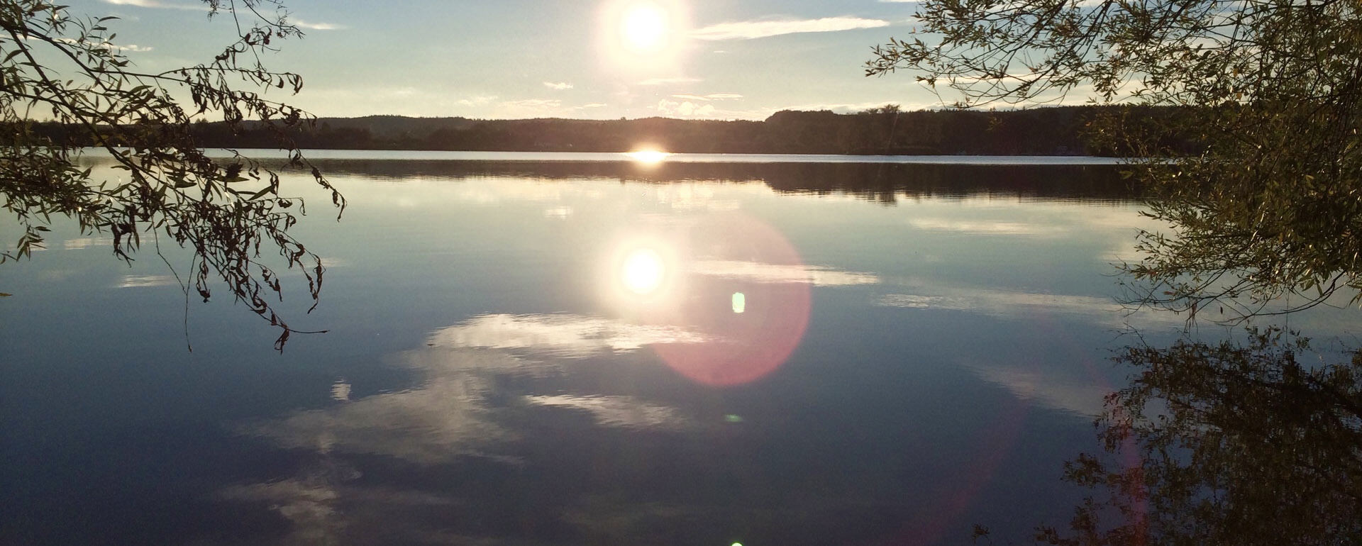
Weather: the relatively narrow, running from south to north valley leads to a special microclimate with lots of sun. Especially the autumnal fog clears usually much faster than in the surrounding valleys and lets the sun through in the morning hours. The west wind protected location also leads to many warm summer evenings.
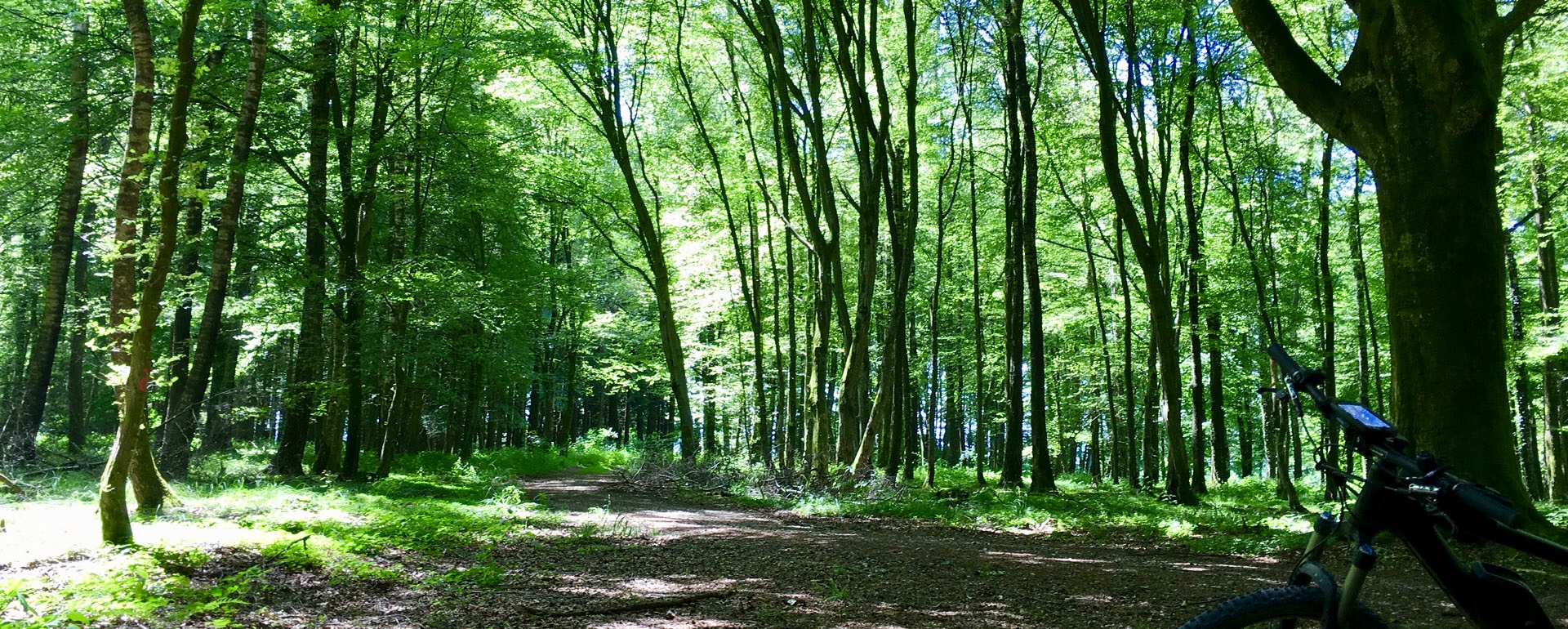
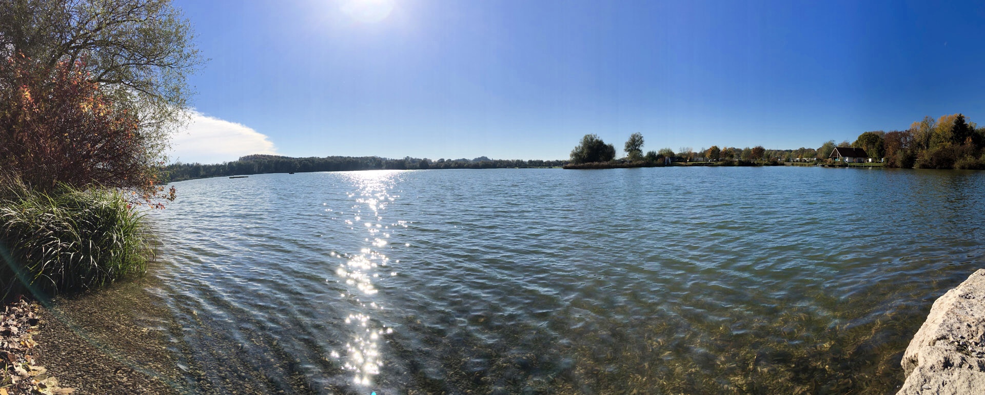
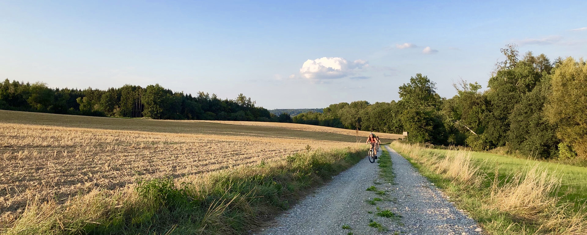
Nature, cycling, hiking and swimming: Krumbach is not only centrally located on traffic routes, but also in terms of cycling and hiking trails. There are countless tours through the surrounding idyllic valleys, dreamy villages and deep forests, which can be individually planned according to duration, altitude and distance. If you are on the north-south axis of the Kammeltal, Günztal or Mindeltalradweg, you can move almost without incline for a whole day. On the west-east axis it goes up and down. On a day trip you can also collect over 1500 meters in altitude. Those who prefer to swim go to the Krumbacher indoor pool, outdoor pool, the recreational area Oberrieder Weiher (10 min) or to one of the countless lakes of the surrounding area.
Distances from the city hotel Kachelofen (C = car, B = bike, W = walk). directions: Easily open the suggested directions in Google Maps and switch between walking, biking and driving. Information material and flyers are available at our reception.
Our list is constantly expanding. You are a leisure attractiveness and want to be included here? Then please write us an email!
swimming: lakes & pools
- outdoor pool Freibad Krumbach (W = 10 min, B = 5 min, C = 5 min) > directions
- indoor pool Hallenbad Krumbach (W = 15-20 min, B = 5 min, C = 5 min) > directions
- water playground for children ( W =7 min) > directions
- recreation area of lake Oberrieder Weiher (W =120 min, B =30 min, C =10 min) > directions
- Nautilla, leisure pool with sauna at Illertissen (C =20 min) > directions
- Donaubad, leisure pool with sauna at Ulm (C =30 min) > directions
- Therme Bad Wörishofen, amazing leisure pool with sauna (C =40 min) > directions
leisure parcs & zoos
- Legoland Deutschland at Günzburg (C =25 min) > directions
- Skyline Park Allgäu at Rammingen (C =35 min) > directions
- climbing garden Waldseilgarten Wallenhausen (C =23 min) > directions
- zoo Augsburg (C =50-60 min) > directions
- zoo Friedrichsau Ulm (35 min) > directions
- Paintball Günzburg 28,10 km
- Sommerrodelbahn Immenstadt 123,00km
- Skywalk 123,00 km
- Soccerpark Fussballgolf 26,70 km
- Turncable Thannhausen 12,60 km
- Walderlebnispfad Krumbach
- Bauernhofmuseum Illerbeuren 54,50 km
- Torferlebnispfad Bremental 23,00 km
- Archäopark Vogelherd Niederstotzingen 42,90 km
- Straußenfarm Leipheim 33,10 km
- Höhlenerlebniswelt Giengen-Hürben 60,80 km
- Ballonmuseum 53,90 km
- Augsburger Puppenkiste 49,40 km
attractions in Krumbach, churches, museums ...
- Mittelschwäbisches Heimatmuseum Krumbach (W =7 min, B =3 min, C =5 min) > directions
- St. Michaels church Krumbach (W =2 min) > directions
- calvary: Kreuzweg im Krumbacher Wald (W =40 min) > directions
- castle: Hürbener Wasserschloss (W =4 min) > directions
- parc: Stadtgarten Krumbach (W =3min) > directions
- water playground: Wasserspielplatz Krumbach ( W =7 min) > directions
- wooden sculptures in the forest (W =20 min, B =10 min) > directions
- Kneipp basin at the creek Krumbächle (W =20 min, B =10 min) > directions
- Schloss Neuschwanstein 118,00 km
- Benedektinerabtei Ottobeuren 39,60 km
- Kloster Roggenburg 11,90 km
- Kloster Oberschönefeld 37,40 km
- Augsburger Dom 64,20 km
- Ulmer Münster 41,00 km
- Schloss Neuburg 8,80 km
- Schloss Kirchheim 13,90 km
- Schloss Haldenwang 29,90 km
- Fuggerschloss 19,30 km
- Fürst Fugger Hubertus Schloss 15,70 km
- Schloss Kronburg 54,20 km
- Maria Vesperbild 17,40 km
- Günzburger Liebfrauenkirche 27,60 km
- Kloster Wettenhausen 18,70 km
- Kloster Edelstetten 8,60 km
- Schloss Harthausen 26,40 km
- Kloster Ursberg 7,30 km
sports & entertainment
- minigolf (W =15 min, B =7 min, C =5 min) > directions
- climbing parc Kletterzentrum DAV (W =20 min, B =10 min, C =6 min) > directions
- Cinepark (cinema) Krumbach (W =1 min) > directions
- Turncable Thannhausen 12,60 km
viewpoints, destinations on foot or by bike
- Mühlberg: amazing view from the top of the hill all over Krumbach, from direction south (W =30 min, B =10 min) > directions
- Demeterberg: amazing view from the top of the hill all over Krumbach, from directioneast (W =15 min, B =8 min) > directions
- Lexenried with idyllic Lexenrieder chapel in the Krumbacher forest (W =30 min) > directions
- Forestpavillon with climbing parc for children (W =40 min, B =16 min) > directions
- Laubgang: a small path under amzing old trees (W =30 min, B =15 min) > directions


